GIS reduces costs & drives efficiencies in asset management and maintenance
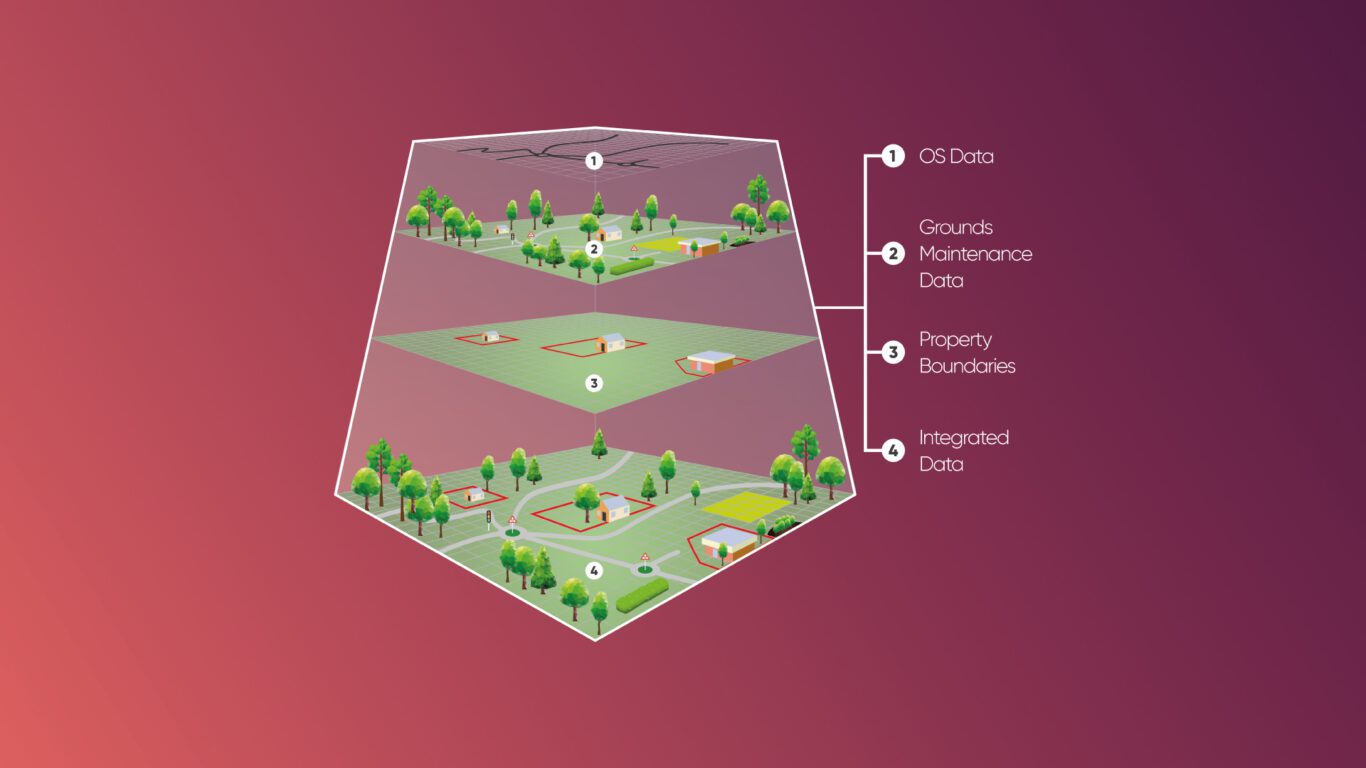
Our GIS & asset mapping services help our clients improve their approach to managing their property assets using GIS, by creating an accurate up-to-date geo-spatial mapping record of all external property assets. This enables them to procure, manage and deliver maintenance services using accurate information.
GIS data capture involves using either pre-existing data or the creation of data from scratch. We typically work with pre-existing data including satellite imagery, aerial photography, height models, paper maps, scans, plans and numerous databases.
Who we work with


Providing expertise to effectively manage asset data capture within a GIS system
By defining the ultimate requirements at the outset, the information contained within the GIS asset management system will have practical use providing commercial value over a long period of time.
Our experience in delivering GIS & asset mapping services across a wide range of industries really adds value to defining the process and specification. And we will work with you to ensure your GIS data capture delivers the commercial value and longevity you seek.
Asset data collection, verification and validation
We are also unique in offering a site surveying service including GPS topographical surveys or laser surveys to capture information for land-based projects or physically verify the accuracy of existing records. This can help fill the gaps in existing data, or to provide new measured records.
Our GIS data capture services are platform-independent, and we have produced data for use in nearly all available GIS systems.
Grounds maintenance GIS data for Flagship Housing Association
Compiling the grounds maintenance dataset on 778 individual properties to aid the tender process.
Read case studyCreating maps from satellite imagery
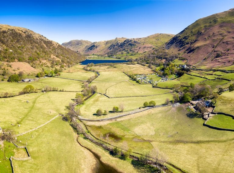
We have considerable experience of interpreting satellite and aerial imagery and creating mapping products using raster or vector data sets that can be stored in a variety of GIS formats.
Depending on the level of detail you require we can capture physical features such as transport networks, buildings and boundaries both physical and political.
Each feature can be attributed with specific properties, for example, a map of transport and drainage works would include the location of culverts and bridges attributed with length, width, material type etc.
As part of the project briefing process, you will define the map’s purpose such as navigation, strategic decisions or analysis so that the base map can be created to your exact specification and meet your ultimate requirements.
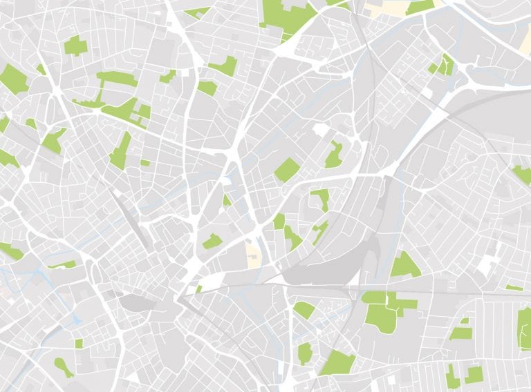
Creating geo-referenced maps
Geo-referencing is the process of associating images or data with a location so that it can be viewed and analysed in conjunction with other geographic data.
We are experienced in creating highly detailed bespoke maps in a format that has value and longevity. By integrating client-specific data we can help you visualise current relationships, patterns and trends which you can then use for analysis and communication.
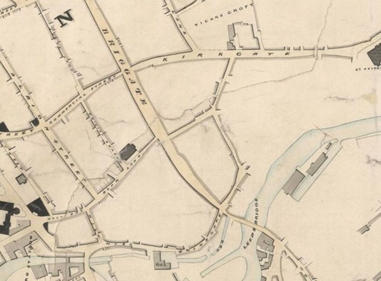
Our geo-referencing service can also turn historical catalogues of information into a very useful digital format, which can be quickly accessed and easily interrogated.
GIS for grounds maintenance
As a supply partner under the Fusion21 Grounds Maintenance Framework, we provide clients with the knowledge and support to take control of their geo-spatial data.
We create, capture and manage accurate asset-based data records for housing associations, educational institutions and local authorities. This helps them to achieve cost and efficiency savings in their Grounds Maintenance operations.
GIS for grounds maintenance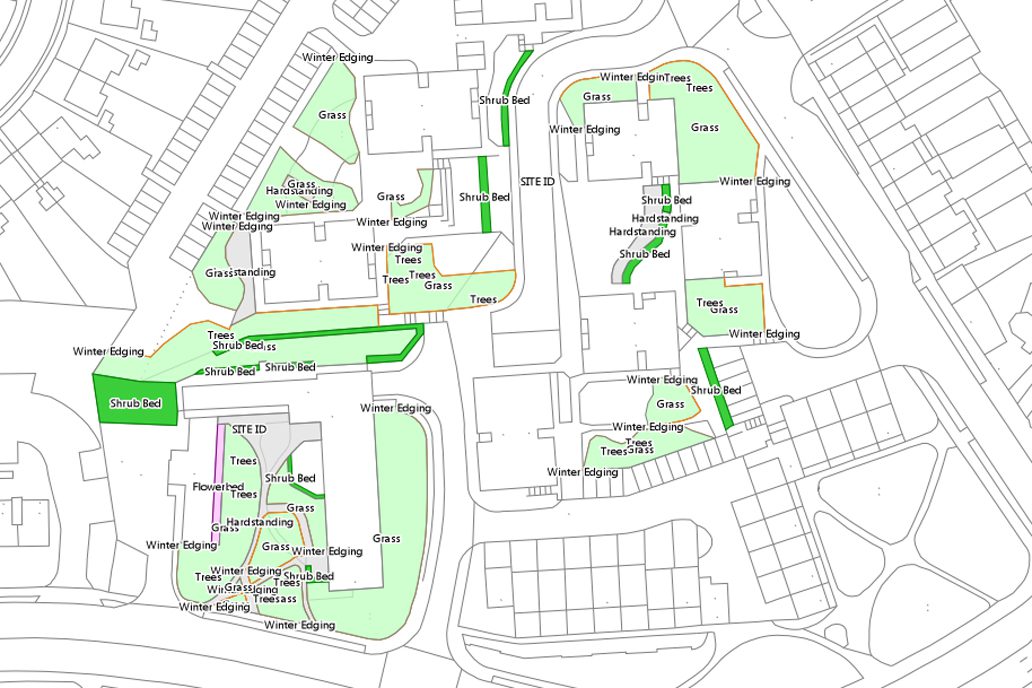
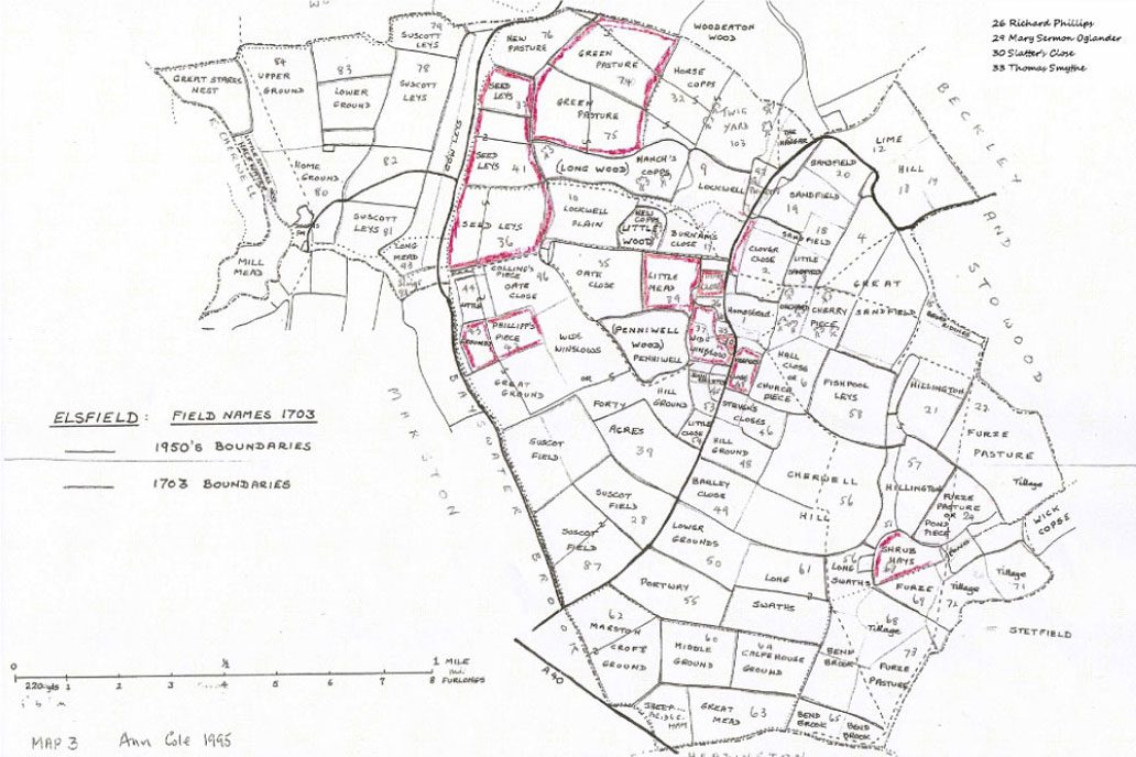
Creating highly detailed land terriers
We have a wealth of experience in creating highly detailed land terriers and bespoke maps. By integrating client specific data we can help you visualise the extent of your property boundaries as well as current relationships, patterns and trends which you can then use for analysis and communication.
Land terrier mappingDiscuss your project with us
Start getting value from, and control of, your asset information. Simply fill in the form and a member of our team will be in touch.
Related services

GIS data for grounds maintenance
As a supply partner under the Fusion21 Grounds Maintenance Framework, we provide clients with the knowledge and support to take control of their geo-spatial data.
GIS for grounds maintenance
Land mapping and property land terriers
Expert advice on creating and managing asset information in private digital land or property maps held in a GIS
Land terrier mapping