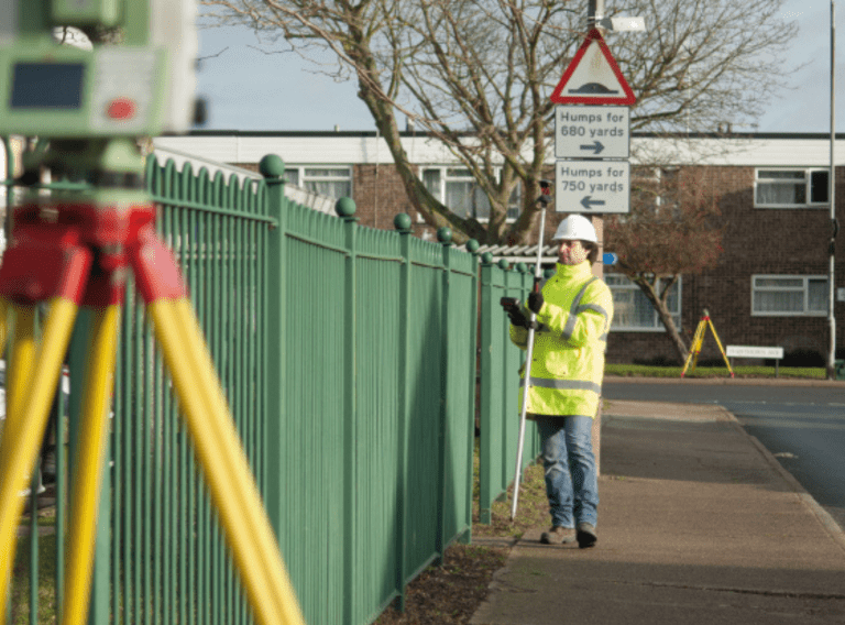
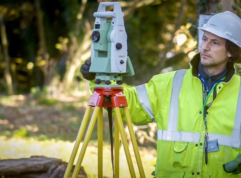
Receive accurate and reliable measured surveys for your building project
Working on complex projects or multiple locations, our measured surveyors work across the UK and internationally.
Measured surveys
Using GIS software and datasets for Grounds Maintenance contracts provides an opportunity to reduce errors & deliver efficiency savings
Scroll
A Geographic Information System, commonly referred to as GIS, is the collaborative technology used for creating, collating, analysing and managing location-based information. But how can the information be used by Grounds Maintenance Contractors?
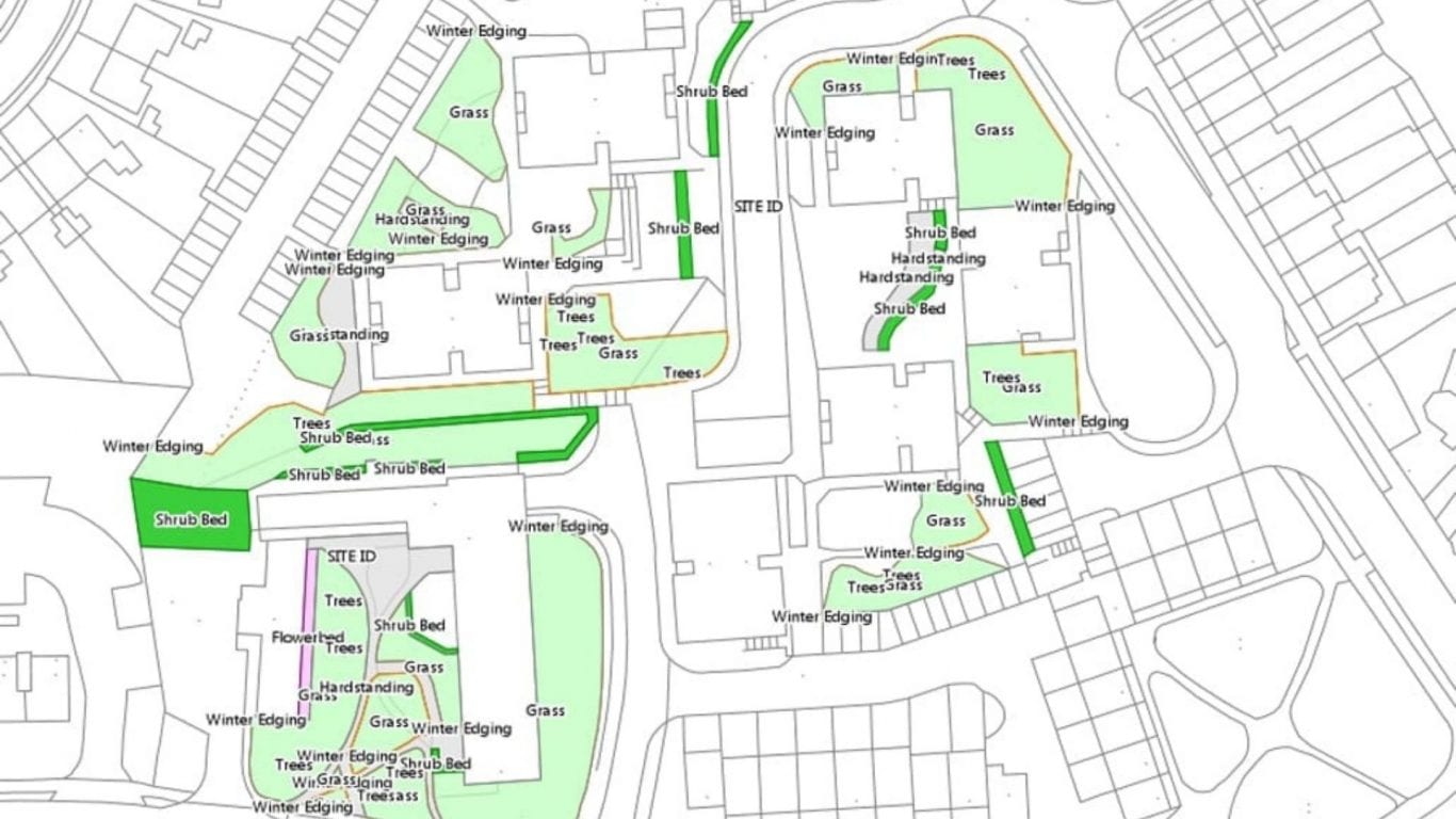
The GIS environment uses maps as the graphic basis on which relevant features are embedded into data layers and linked to specified information about those features held within a database. Most asset information such as asset locations, land use or property boundaries has a geographic component which can be tagged in this way. The data can then be interrogated or styled to reveal valuable insights, patterns, trends, and relationships that can inform smarter decision-making.
The definition of the data layers is normally specified by the client depending on their data requirements.

By integrating dimensionally accurate maps, images and other datasets in a GIS, those working in Grounds Maintenance can extract and analyse accurate information about their property assets to:
Create, maintain, update and analyse your asset information with our expert GIS & asset mapping services.
GIS & asset mappingUltimately GIS can help Housing Associations, Educational Institutions and Local Authorities achieve cost and efficiency savings in their Grounds Maintenance Programmes, by providing a central source of accurate asset-based data records. For example, since implementing GIS in 2012 one Housing Association has reported savings of 20% on their Grounds Maintenance contract.
Creating a collaborative environment with clear map-based graphics, the data can be quickly accessed by all stakeholders via a web portal and updated by authorised users using the intuitive software interface.
For Operations Teams, the use of GIS software and datasets for Grounds Maintenance provides an opportunity to reduce errors, deliver efficiency savings whilst also improving service. To discover more about how we can help you take control of your geo-spatial data, please visit the GIS for Grounds Maintenance section of this website.

Working on complex projects or multiple locations, our measured surveyors work across the UK and internationally.
Measured surveys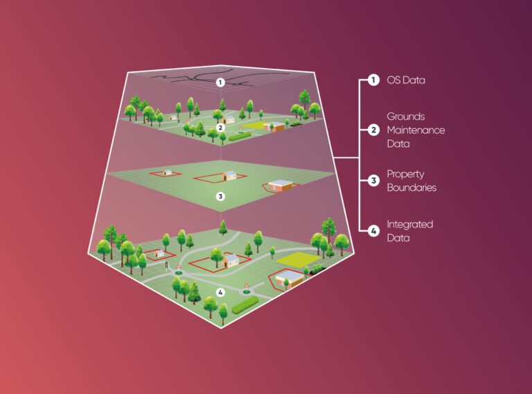
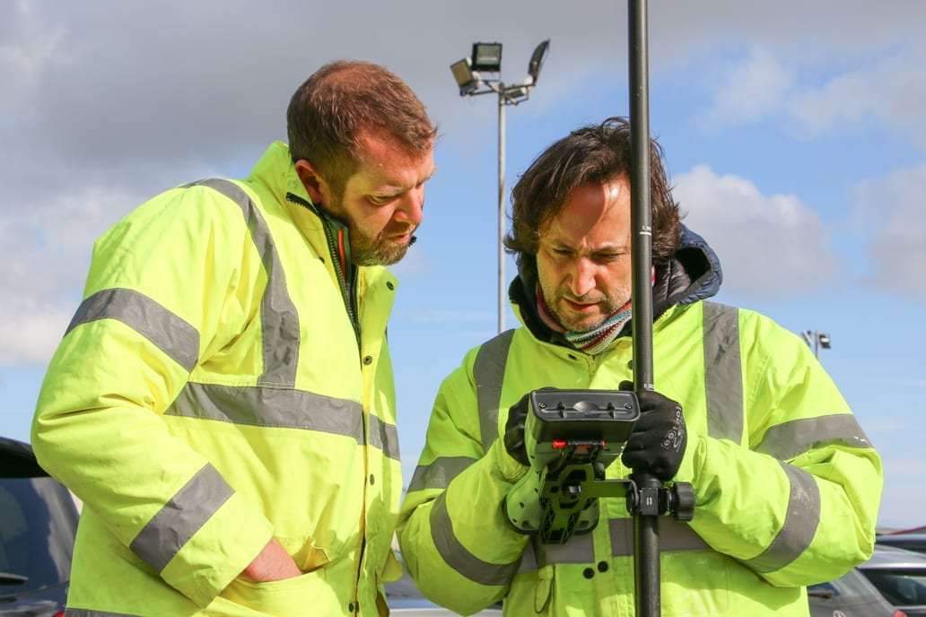
We provide cost and efficiency saving in asset management by helping clients create, maintain, update and analyse asset information within a Geographic Information System (GIS).
GIS & asset mapping