Creating an animation from a point cloud survey – the recording process
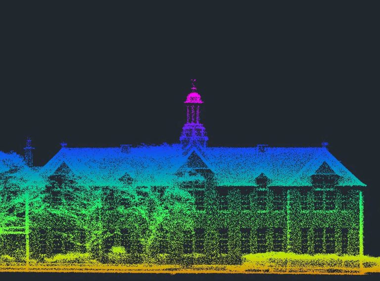
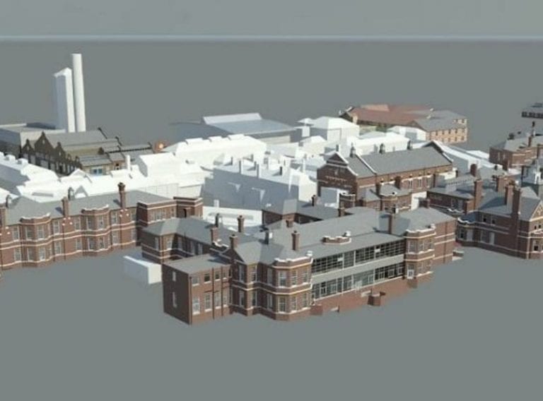
The first thing our survey team members do following a scan is create a point cloud model of the site, allowing us to manoeuvre around it in 3D space.
Our surveyors will then set a ‘clip’ around the model, this ensures that all stray points around the site are eliminated thus focusing on the actual building model.
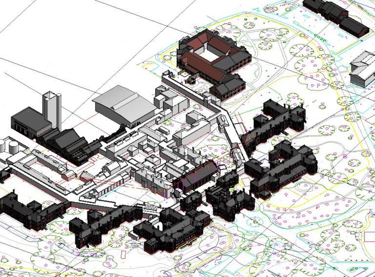
The next thing to do is to set a starting point where the animation will begin, this is generally a point in the cloud where you can see the entire building. To keep things neat and logical we prefer to start from a point looking directly at the front of the building.
From this point the viewport could be set at eye-level, but a birds-eye-view of the site is preferred to show a larger field of view.